

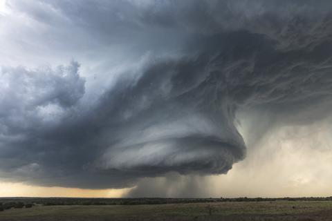
Combing data from cutting-edge geostationary satellites and traditional weather radar created a path toward earlier, more accurate warnings, according to Penn State researchers who studied supercell thuderstorms in the Midwest.
Read the Full News Story