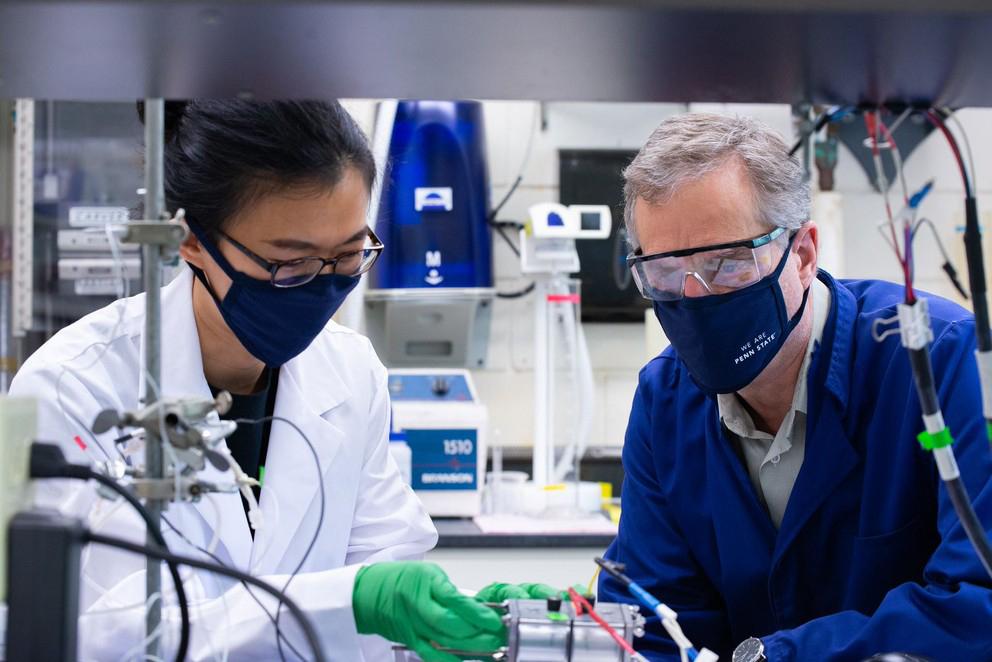
The power of the sun, wind and sea may soon combine to produce clean-burning hydrogen fuel, according to a team of Penn State researchers.
Zi-Kui Liu, professor of materials science and engineering and director of the Phases Research Laboratory, has been named the inaugural Dorothy Pate Enright Professor.
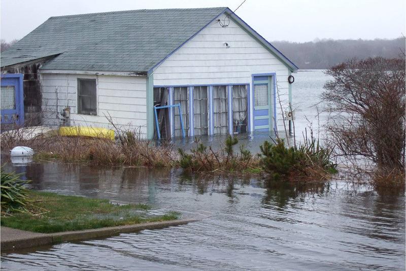
As the globe warms, the atmosphere is becoming more unstable, but the oceans are becoming more stable, according to an international team of climate scientists, who say that the increase in stability is greater than predicted and a stable ocean will absorb less carbon and be less productive.
Typically, computer models of climate become more and more complex as researchers strive to capture more details of our Earth's system, but according to a team of Penn State researchers, to assess risks, less complex models, with their ability to better sample uncertainties, may be a better choice.
Four Penn State researchers have joined the Consortium to Combat Substance Abuse, part of the Social Science Research Institute, including faculty members from the colleges of Engineering, Earth and Mineral Sciences, and Health and Human Development.
Pennsylvania has taken the first steps towards joining the Regional Greenhouse Gas Initiative (RGGI), an agreement among almost a dozen states in the Northeast and Mid-Atlantic regions to reduce greenhouse gas emissions from electric power plants.
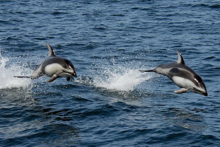
The All-Atlantic Summit will include the 6th High-Level Industry-Science-Government Dialogue on Atlantic Interactions (HLD) and technical sessions focusing on innovation to develop inclusive ocean economies in the Atlantic region.
A warming climate and more frequent wildfires do not necessarily mean the western United States will see the forest loss that many scientists expect.
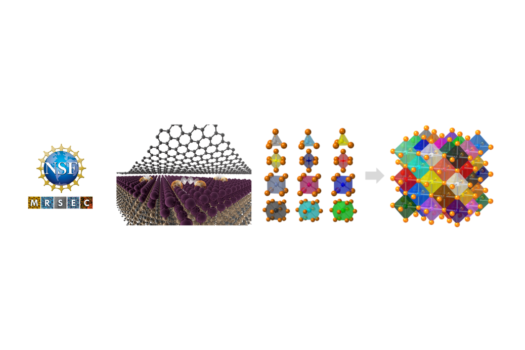
The Center for Nanoscale Science, a National Science Foundation Materials Science and Engineering Center (MRSEC), has again successfully renewed its NSF support in the highly competitive MRSEC program. The new iteration of the center encompasses two of NSF’s Big Ideas — "Quantum Leap" and "Harnessing the Data Revolution."
Penn State’s Water Council will hold an online event for individuals who are interested in learning about water events and meeting other water faculty and professional staff.


